A collection of historical maps covering the Bosnian (and Herzegovinian) history from its beginning to our days. The following is a list of maps published in various historical atlases.
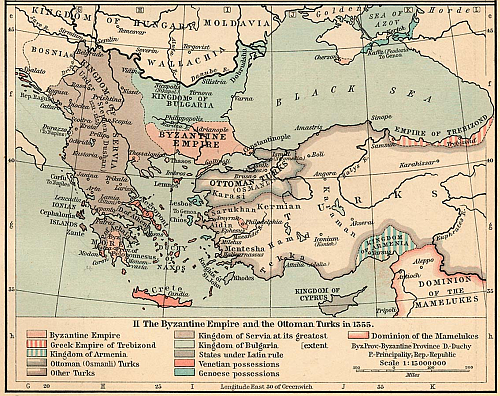 |
The Byzantine Empire and the Otoman Turks ; Year 1355
The Byzantine Empire, 1265-1355. From The Historical Atlas by William R. Shepherd, 1911. |
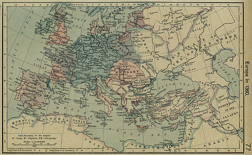 |
Map of Europe; Year 1360
Europe about 1360. From The Historical Atlas by William R. Shepherd, 1926. |
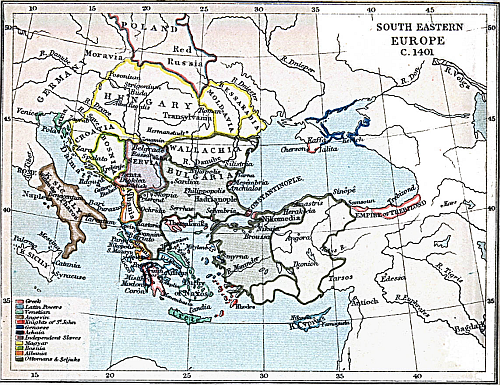 |
Map of South Eastern Europe; Year 1401
European Map Collection at University of Texas (Atlas To Freeman's Historical Geography, 1903). |
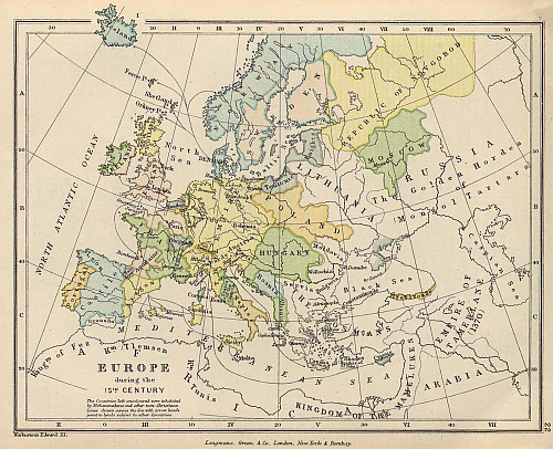 |
Map of Europe; 15th Century
From The Public Schools Historical Atlas edited by C. Colbeck, published by Longmans, Green, and Co. 1905. |
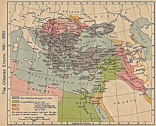 |
The Ottoman Empire; Year 1481-1683
From The Historical Atlas by William R. Shepherd, 1923. |
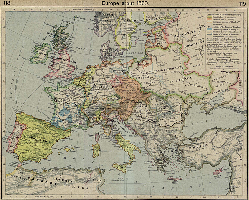 |
Map of Europe; Year about 1560
Europe about 1560. From The Historical Atlas by William R. Shepherd, 1923. |
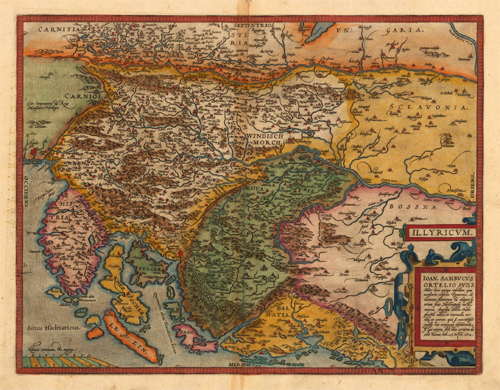 |
Illyricum. Ioan. Sambucus Ortelio Suos...; Year 1598
Published 1598 in the Atlas 'Theatrum Orbis Terrarum' at Christopher Platin in Antwerp. |
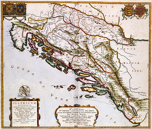 |
The eastern coast of the Adriatic; Year about 1663
Published in 1663 by Joan Blaeu (1598-1673) in the french edition of his Atlas Maior. Also showing Coat of arms of the Kingdom of Bosnia in the top right corner of the map, depicted from the perspective of the Dutch cartographer Joan Blaeu in times when the Kingdom was occupied by the Ottoman Empire. |
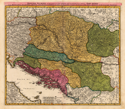 |
Southeast Europe; Year 1720 - 1730
Map by Homann, Johann Baptist, shows the different Balkan countries in Southeast Europe, which are Dalmatia, Bosnia, Serbia, Slavonia, Transylvania, Hungary. |
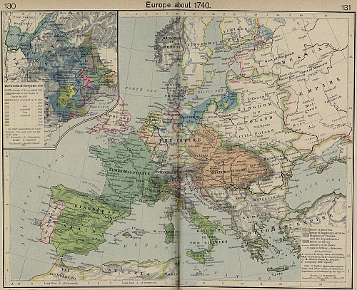 |
Map of Europe; Year about 1740
From The Historical Atlas by William R. Shepherd, 1926. |
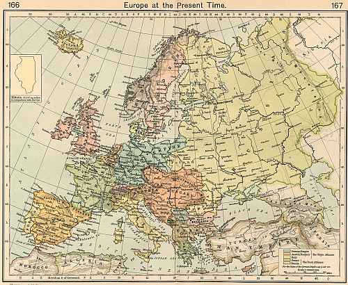 |
Map of Europe; Year 1911
Europe at the Present Time From The Historical Atlas by William R. Shepherd, 1911. |
Tags: Maps of Bosnia and Herzegovina, Maps of Bosnia, Historical maps


